Updated on: 13.10.2018
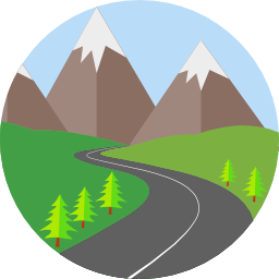
121 days on the road

started on: 19.06.2018
started on: 19.06.2018
24'398 Km driven

average: 201.64 Km / day
average: 201.64 Km / day
2 countries traveled

on 1 continent
on 1 continent
2984 L Diesel used
average: 12.23 L Diesel / 100 Km
average: 12.23 L Diesel / 100 Km
15'837 CHF spent

average: 130.88 CHF / day
average: 130.88 CHF / day
92.6 Km hiked
average: 5.45 Km / hike
average: 5.45 Km / hike
GEOGRAPHIA
- Highest point: 2900 m a.s.l. in Cloud Peak Skyway, USA (WY)
- Deepest point: 0 m a.s.l. all around the sea
- Northernmost point: Tuktoyaktuk, Canada (NWT)
- Southernmost point: Cleveland, USA (OH)
- Easternmost point: North Sydney, Canada (NS)
DIESEL

- Most expensive diesel: 1.26 CHF in Dawson City, Canada
- Cheapest Diesel: 0.76 CHF in Niagara Falls, USA
- Worst diesel: all petrol stations in Cody, USA (WY)
WEATHER
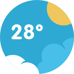
- Warmest temperature: 34°C in Québec, Canada
- Coldest temperature: -1°C in Crater Lake, USA (OR)
- Longest period without rain: 10 days in Canada / USA
- Longest period with rain: 3 days in Cape Breton
- Worst storm: North Sydney, Canada (NS)
-
Densest fog: Dempster Highway at the border Yukon / NWT
OTHERS

- Lost items: 1 pair of shoes, hat, suction cup for actioncam
- Number of photos taken: 3025
- Number of drone flights: 24
- Disk space used: 141 GB
- Number of repairs: 2 (universal joint and seal replaced)
- Most touristy place: Niagara Falls
- Most dangerous event: On the Dempster Highway we got off the road and slipped into the ditch --> had to be rescued by another vehicle.
- Worst night: North Sydney (rain, wind), Canada
- Longest border crossing: Canada - USA (Niagara Falls)
- Most difficult border crossing: Canada - USA (Niagara Falls)